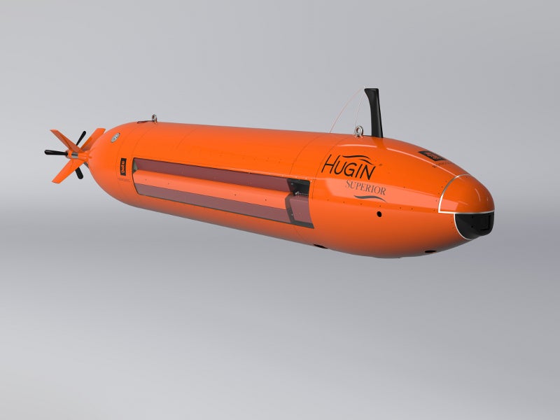
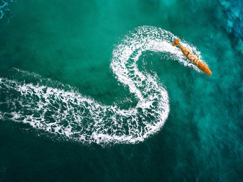
HUGIN Superior autonomous underwater vehicle (AUV) is the latest addition to the HUGIN family of AUVs developed by Norwegian firm Kongsberg Maritime.
Introduced in December 2018, the HUGIN Superior system provides enhanced data, positioning and endurance capabilities in various defence applications such as underwater survey, covert rapid environment assessment (REA), and mine countermeasures (MCM).
The advanced AUV is suitable for government and commercial applications, including geographical survey, hydrography, marine archaeology as well as pipeline inspection for detection of leakage and seeps.
HUGIN Superior AUV design and features
Developed based on the existing HUGIN technology platform, the HUGIN Superior underwater vehicle is a hydrodynamic shape. It has a length of approximately 6.6m and weighs 2,200kg.
The AUV is stored and shipped in a DNV 2.7-1-certified offshore container, while its launch and recovery is performed using a single-stage stinger.
On-board energy capacity of the latest vehicle is increased by 30% compared to existing HUGIN AUVs.
The vehicle generates higher data volume and has improved on-board data processing capability.
Payload sensors on board HUGIN Superior AUV
HUGIN Superior AUV is equipped with a HISAS 1032 dual-receiver synthetic aperture sonar (SAS), which produces 1,000m swath at 2.5kt for high-resolution SAS imagery of approximately 5cm x 5cm. It also generates detailed SAS bathymetry of the seabed at 200m.
EM 2040 MKII multi-beam echosounder provides high-resolution mapping and inspection of the seabed. It has three operating frequencies, 200kHz for deepwater inspection, 300kHz for near bottom inspection, and 400kkHz for very high-resolution inspection.
The vehicle is also outfitted with a digital still image colour ultra-high-definition (UHD) camera, laser profiler, EdgeTech sub-bottom profiler and methane (CH4) sensor. It also has a CO2 measurement sensor, laser profiler, magnetometer and turbidity sensor, acoustic Doppler current profiler (ADCP) as well as a conductivity, temperature, and depth (CTD) sensor.
Navigation and communication capabilities
The HUGIN Superior AUV uses a variety of navigation systems such as Kongsberg Sunstone aided inertial navigation system (AINS), high-accuracy depth sensor, navigation grade IMU, Doppler Velocity Log (DVL) with bottom and water track, DPCA micro-navigated SAS, and surface global positioning system (GPS) with a satellite-based augmentation system (SBAS).
The on-board forward-looking sonar (FLS) with under-ice functionality provides terrain-aided navigation and collision avoidance for the vehicle.
The communication systems carried on-board the AUV are ultra-high-frequency (UHF) two-way radio link, Iridium over-the-horizon two-way satellite link, Iridium emergency localisation beacon, Wi-Fi (IEEE 802.11g), and cNode acoustic communication.
The vehicle can be equipped with an optional global navigation satellite system (GNSS) navigation system and high-precision acoustic positioning (HiPAP), which is an acoustic positioning and communication system.
Command and control
The autonomous underwater vehicle is operated using HUGIN operator station, which is equipped with a Kongsberg control processor, payload processor, operator and payload computers as well as post-mission analysis computer.
The data acquired by the AUV is processed using 10GbE swappable network-attached storage (NAS).
HUGIN Superior AUV power and performance
HUGIN Superior underwater vehicle is powered by a 62.5kWh pressure-tolerant lithium-polymer battery, which can be charged within eight hours.
The useful speed range of the AUV varies from 2kt to 5.2kt, while the operating speed range is from 3kt to 4kt.
The vehicle can execute missions for up to 72 hours at 3kt of speed and 52 hours at 4kt. It is capable of reaching depths of 6,000m.
Details of the HUGIN family of AUVs
The AUVs under HUGIN family are available in operating depth ratings of 1,000m, 3,000m, 4,500m, and 6,000m. The vehicles can be configured with different payload sensors for diverse applications.
The HUGIN platform was developed by a partnership between KONGSBERG, Statoil, Norwegian Defence Research Establishment (FFI) and Norsk Undervannsintervensjon (NUI).
It was chosen by the Royal Norwegian Navy, Indonesian Navy, Polish Navy, and a number of survey providers.


